

NYC Data Project
3D Video Project
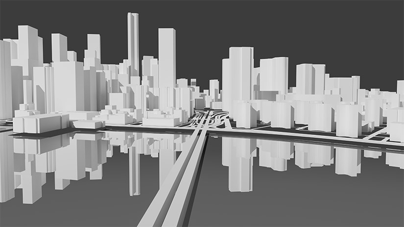
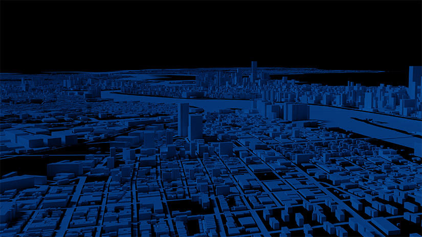
Our Homepage • NYC Open Data Building Footprints
The New York City open data project makes available a large amount of shape data on the various geospatial features of New York City. To create the video used on our home page we took the building footprint, roadbeds, and hydrography datasets and ran them through a custom program written in D to convert from spherical to cartesian coordinates, and generate 3D meshes of the features. From there we pulled the meshes into blender and then shaded them.